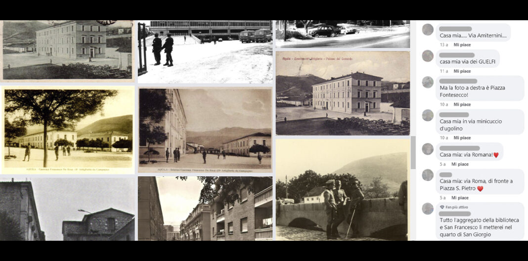
The 2009 L’Aquila earthquake caused a temporary, but still partially ongoing, emptying of the historic center. The transformations due to the earthquake led to a temporary non-usability and non-recognizability of the spaces which led to a loss of meaning and identity of the places of the city. The perception of the city continues to oscillate between the memory of it before the earthquake and what it will be at the end of the works. Numerous pages and groups, on various social networks, publish and create interaction by publishing photographs, images and past memories, of places in the city and scenes from everyday life. The research has been conducted by analysing the images posted on social media, geolocating and correlating them through an online map, according to a Digital Humanities approach applied to images of the urban landscape. The map offers itself as a useful tool for the collection of visual documentation, for the analysis of ongoing phenomena, for developing heritage education activities.
© RIPRODUZIONE RISERVATA


